Overview
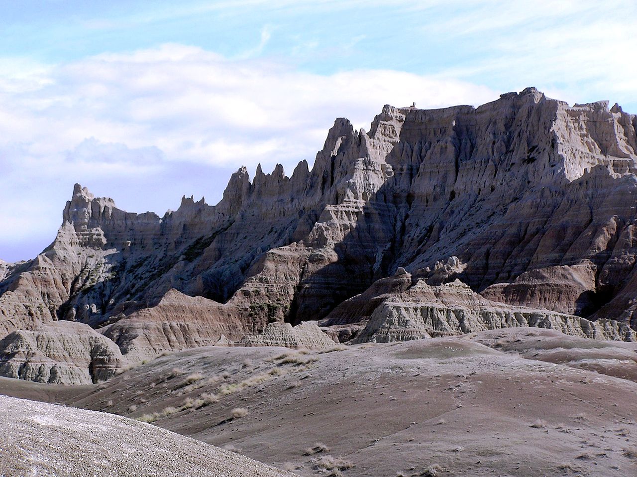
The Badlands of North Dakota are in the southwest portion of the US state. Here, the Little Missouri and other rivers carve stunning rock features out of the dry prairie.
Updated from Wikivoyage on 1 October 2026 · Something wrong or missing? Improve it on Wikivoyage
Plan your trip
Getting there
- From you: to see whether to drive or fly, and how long it takes.
- DIK Dickinson Theodore Roosevelt Regional Airport, Dickinson — 23 mi away. Directions
- GDV Dawson Community Airport, Glendive — 75 mi away. Directions
Interstate 94 passes west-east through the center of the region, connecting to Montana, Bismarck, Jamestown and Fargo.
Full “Get in” guide ↓Sample 3-day trip
- Day 1: Medora — Medora Musical.
- Day 2: Theodore Roosevelt National Park — Maltese Cross Cabin, Elkhorn Ranch, Scenic Loop Drive.
- Day 3: Bowman — Paleontology Digs.
Built from the best-covered destinations in this region; open each for its own day plan.
Food for you
Rocky Mountain Oysters are cattle or buffalo testicles that are breaded and deep-fried. While many people enjoy this delicacy, locals enjoy tricking visitors into eating without disclosing the nature of the food.
What to ask about, for your diet
Diet labels come from each listing's description and cuisine; “likely” means the cuisine usually has good choices, not a promise. Check with the restaurant. Open the food finder
Photos


Places in Badlands

Medora
City / town · 33 listings

Theodore Roosevelt National Park
Park · 20 listings
Bowman
City / town · 17 listings
Watford City
City / town · 15 listings

Beach
City / town · 11 listings

Alexander
City / town · 5 listings

Amidon
City / town · 5 listings
Belfield
City / town · 5 listings
Cartwright
City / town · 3 listings
Little Missouri National Grasslands
Park · 1 listings
Understand
Badlands are unique formations resulting from millions of years of sedimentary buildup, followed by erosion.
Cities
- Alexander
- Amidon
- Beach
- Belfield
- Bowman
- Cartwright
- Medora - a western-themed resort town with a famous musical production at the entrance to Theodore Roosevelt National Park
- Watford City
Other destinations
- Theodore Roosevelt National Park - This badlands terrain also includes open prairie and hard wood draws. It is home to bison, prairie dogs and many other wildlife species
- North Unit
- South Unit
- Little Missouri National Grasslands
Get in
Interstate 94 passes west-east through the center of the region, connecting to Montana, Bismarck, Jamestown and Fargo.
US Highway 85 drives north-south through the region.
Get around
The area is sparsely populated and in the summer months gets extremely hot. Fill up your gas tank, check your coolant levels, and pack plenty of water.
Do
Hunting
This is a prime area for mule deer.
Fishing
- Buffalo Gap Dam, 2 miles (3 km) southeast of Buffalo Gap (I94 exit 18) for trout, largemouth bass, and bluegill.
- Camels Hump Dam, immediately northeast of Sentinel Butte (I94 exit 10) for trout, bluegill, and largemouth bass.
- Odland Dam, 7 miles (11 km) north of Beach for pike, perch, and bluegill.
Eat
Rocky Mountain Oysters are cattle or buffalo testicles that are breaded and deep-fried. While many people enjoy this delicacy, locals enjoy tricking visitors into eating without disclosing the nature of the food.
Go next
Nearby
Dickinson
City / town · 30 listings · 25 mi away

Regent
City / town · 13 listings · 43 mi away

Glendive
City / town · 22 listings · 71 mi away

Zap
City / town · 5 listings · 73 mi away
Elgin
City / town · 12 listings · 74 mi away

Sidney
City / town · 13 listings · 76 mi away
Beulah
City / town · 25 listings · 78 mi away
My experience
Write about your trip here. Notes save automatically in this browser as you type; back them up from My journal.