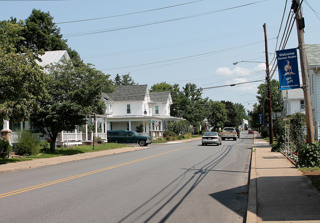
Overview
Benton is a small borough nestled in the upper Fishing Creek valley in northern Columbia County.
Updated from Wikivoyage on 1 October 2026 · Something wrong or missing? Improve it on Wikivoyage
Plan your trip
Best time to visit & weather
Most comfortable: Apr–Oct. Summer highs reach about 86°F; winter lows dip to about 22°F. Cold months (Jan) can bring snow and ice; check road conditions. Wettest: Jul and Sep. (climate data from nearby Allentown)
Blue bars: average daily high and low (°F). Purple columns: average monthly rain and melted snow (inches).
Getting there
- From you: to see whether to drive or fly, and how long it takes.
- IPT Williamsport Regional Airport, Williamsport — 28 mi away. Directions
- AVP Wilkes-Barre/Scranton International Airport, Wilkes-Barre/Scranton — 36 mi away. Directions
- PHL Philadelphia International Airport, Philadelphia — 109 mi away (major hub). Directions
Benton is about half an hour's drive north on Pennsylvania Route 487 from Interstate 80 (exit 236b). It is several miles south of Ricketts Glen State Park on Route 487. Benton can also be accessed from the east or west via Pennsylvania Route 239. The tiny Benton Airport is in the northwest corner of the borough.
Full “Get in” guide ↓Budget & where to stay
No prices are listed for this place yet. See the Sleep guide ↓ for options.
Food for you
There are two restaurants in Benton. One of these is on Hess Street and the other is on Center Street.
What to ask about, for your diet
Diet labels come from each listing's description and cuisine; “likely” means the cuisine usually has good choices, not a promise. Check with the restaurant. Open the food finder
Photos


Get in
Benton is about half an hour's drive north on Pennsylvania Route 487 from Interstate 80 (exit 236b). It is several miles south of Ricketts Glen State Park on Route 487. Benton can also be accessed from the east or west via Pennsylvania Route 239. The tiny Benton Airport is in the northwest corner of the borough.
Get around
By car or on foot. The main street (Route 239/487) has sidewalks in the borough.
See
The Benton Dam (pictured) is located in Benton.
The Benton Rodeo has been held in Benton every year in July since 1985.
Do
One thing to do is visit Ricketts Glen State Park. It is several miles northward from Benton on Pennsylvania Route 487 and Pennsylvania Route 118. Benton is also on Fishing Creek, a known trout stream that is also navigable by canoe or kayak.
Buy
There are a number of stores on Main Street in Benton. These include at least two antique stores and a coin-and-jewelry store.
Eat
There are two restaurants in Benton. One of these is on Hess Street and the other is on Center Street.
Drink
Colonel Rickett's Hard Cider is located on 3rd Street in Benton.
Sleep
'The Mattress and Muffin Inn' is located on Main Street in Benton.
Go next
- Bloomsburg (on Route 487 south)
- Shickshinny (on Route 239 south)
Nearby

Shickshinny
City / town · 12 mi away

Berwick
City / town · 2 listings · 13 mi away

Bloomsburg
City / town · 11 listings · 14 mi away

Danville
City / town · 4 listings · 20 mi away
Numidia
City / town · 6 listings · 22 mi away

Wilkes-Barre
City / town · 6 listings · 26 mi away

Hazleton
City / town · 7 listings · 27 mi away

Centralia
City / town · 4 listings · 27 mi away
My experience
Write about your trip here. Notes save automatically in this browser as you type; back them up from My journal.