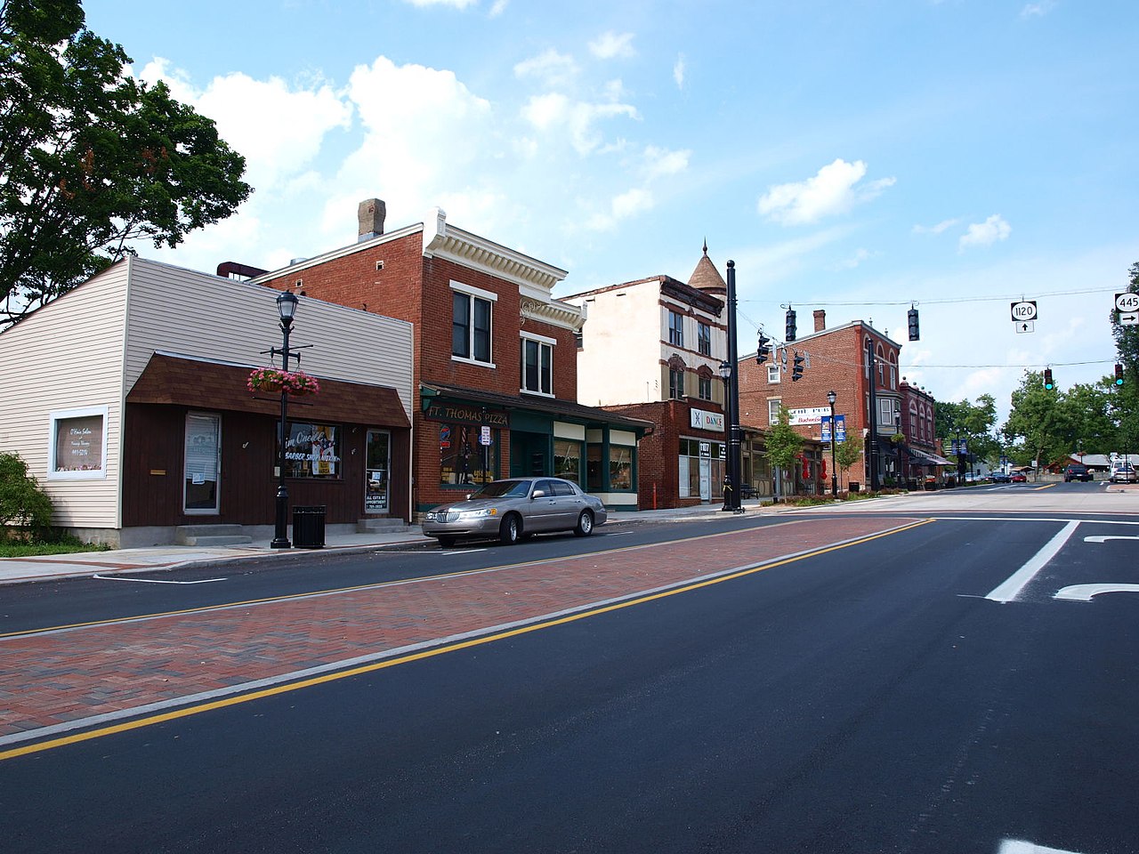
Overview
Fort Thomas is in the Northern Ohio River Region of Kentucky.
11 places to eat
Updated from Wikivoyage on 1 October 2026 · Something wrong or missing? Improve it on Wikivoyage
Plan your trip
Best time to visit & weather
Most comfortable: Apr–Oct. Summer highs reach about 86°F; winter lows dip to about 23°F. Cold months (Jan) can bring snow and ice; check road conditions. Wettest: Jun and May. (climate data from nearby Cincinnati)
Blue bars: average daily high and low (°F). Purple columns: average monthly rain and melted snow (inches).
Getting there
- From you: to see whether to drive or fly, and how long it takes.
- LUK Cincinnati Municipal Airport Lunken Field, Cincinnati — 3 mi away. Directions
- CVG Cincinnati Northern Kentucky International Airport, Cincinnati / Covington — 12 mi away (major hub). Directions
Fort Thomas has no airport but Cincinnati/Northern Kentucky International Airport (CVG) is located near Fort Thomas.
Full “Get in” guide ↓Budget & where to stay
No prices are listed for this place yet. See the Sleep guide ↓ for options.
Food for you
Cuisine (tap to filter)
What to ask about, for your diet
Diet labels come from each listing's description and cuisine; “likely” means the cuisine usually has good choices, not a promise. Check with the restaurant. Open the food finder
Photos


Map
Every listing with a location. Tap a pin for its Google Maps link.
Get in
By plane
Fort Thomas has no airport but Cincinnati/Northern Kentucky International Airport (CVG) is located near Fort Thomas.
By car
Fort Thomas can be accessed from the south by Alexandria Pike which is the terminus of I-471.
From the north, Fort Thomas can be accessed on Kentucky Route 1120 (Also known as Memorial Parkway) from I-471. Fort Thomas can also be reached by North/South Grande Avenue via I-471
By bus
The Transport Authority of Northern Kentucky (TANK) has multiple stops in Fort Thomas on line 11.
Get around
Fort Thomas has no public transport besides TANK bus services (Only in the northern portion of Fort Thomas). Most of Fort Thomas is walkable and contains sidewalks.
See
The most famous landmark in Fort Thomas is the fort for which the city is named after. The fort was once in use during World War One and World War Two, but has since been vacated. The fort is now a park with a playground, amphitheater, small museum, old houses, and a mess hall.
The two other major parks in Fort Thomas are Highland Hills Park and Rossford Park.
Eat
Eat 915 Pub & Grill
Traditional American pub food.
Eat Ft. Thomas Ice Cream
Eat New Garden
New Garden is a restaurant specializing in Asian (primarily Chinese) food.
Eat Graeter's Ice Cream
Sleep
There are no hotels, motels or campgrounds in Fort Thomas.
Go next
- Bellevue
- Newport
- Covington
- Cincinnati
- Louisville
- Lexington
- Indianapolis
- Dayton
Nearby

Newport
City / town · 26 listings · 2 mi away

Covington
City / town · 19 listings · 3 mi away

Cincinnati
City / town · 17 listings · 4 mi away

Fort Wright
City / town · 2 listings · 5 mi away
Union Township
City / town · 11 listings · 10 mi away

Milford-Miami Township
City / town · 27 listings · 11 mi away

Florence
City / town · 10 listings · 12 mi away

Blue Ash
City / town · 30 listings · 12 mi away
My experience
Write about your trip here. Notes save automatically in this browser as you type; back them up from My journal.