Overview
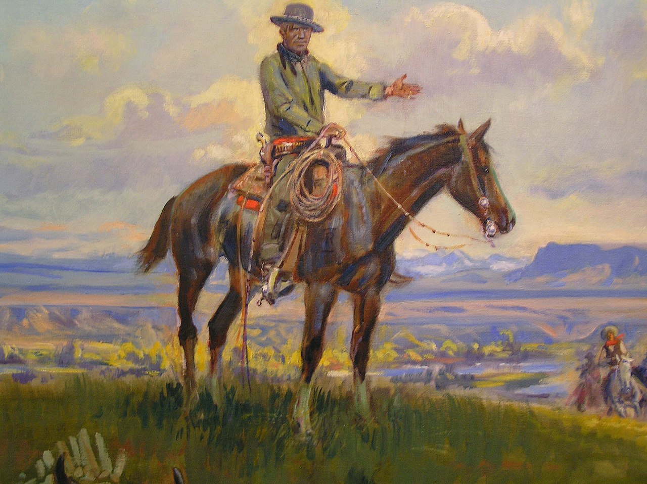
Central Montana has diverse geography, from mountains to rolling plains and the mighty Missouri River. The region inspired the famous western artist Charles Marion Russell, known as "the cowboy artist" for his romantic paintings of Montana and early western culture. Island mountain ranges, mountain streams and reservoirs are dispersed throughout the region. Small towns dot the region known for cattle ranching and wheat and barley farming.
Updated from Wikivoyage on 1 October 2026 · Something wrong or missing? Improve it on Wikivoyage
Plan your trip
Getting there
- From you: to see whether to drive or fly, and how long it takes.
- GTF Great Falls International Airport, Great Falls — 60 mi away. Directions
- HVR Havre City County Airport, Havre — 74 mi away. Directions
Getting to Central Montana is easy. The major routes are:
Full “Get in” guide ↓Sample 3-day trip
- Day 1: Great Falls — C. M. Russell Museum, Paris Gibson Square Museum of Art, Ryan Dam.
- Day 2: Havre — Bear Paw Ski Bowl, Too Close For Comfort Site, Fort Assinniboine.
- Day 3: Lewistown — Central Montana Museum, Lewistown Art Center, Big Springs Trout Hatchery.
Built from the best-covered destinations in this region; open each for its own day plan.
Photos


Places in Central Montana

Great Falls
City / town · 43 listings

Havre
City / town · 22 listings

Lewistown
City / town · 15 listings
Harlowton
City / town · 14 listings

Choteau
City / town · 14 listings

White Sulphur Springs
City / town · 11 listings

Belt
City / town · 9 listings

Shelby
City / town · 7 listings

Sweet Grass
City / town · 3 listings

Sun River
City / town · 1 listings
Understand
This region is composed of 13 counties.
Cities
- Belt
- Choteau
- Fort Benton
- Great Falls — the largest city in Central Montana
- Harlowton
- Havre
- Lewistown
- Shelby
- Sweet Grass
- Sun River
- White Sulphur Springs
Other destinations
- Upper Missouri River Breaks National Monument — The White Cliffs of the Missouri are in a remote area that remains much the same as when the Lewis and Clark Expedition explored here over 200 years ago.
Get in
Getting to Central Montana is easy. The major routes are:
- Interstate 15
- U.S. Highway 2 (US-2)
- U.S. Highway 89 (US-89)
- U.S. Highway 200 (US-200)
There is a 24-hour port of entry into Canada at Sweet Grass on I-15.
By plane
Great Falls International Airport (GTF) is served by Delta, United, Alaska (Horizon), Allegiant and Frontier (seasonally).
By train
Amtrak travels east-west in the northern part the Central Montana with stops in Shelby and Havre.
Get around
By bus
North Central Montana Transit (phone: +1 877-233-6268, 265-4762 local) provides bus service between Great Falls, Box Elder, Laredo, Havre, Chinook, Harlem and Fort Belknap. The fare is $1.00. The blue lines runs Monday through Friday. Other bus routes only run two or three times a week. Buses run one direction in the morning and then run the opposite direction in the afternoon.
Northern Transit Interlocal ( +1 406 470-0727), run by Toole County, serves Shelby, Conrad, and Great Falls, among other places. There are 6 routes connecting the towns. Each route only operates on select days.
See
Museums
Great Falls is home to the C M Russell Museum, the largest collection of the cowboy artist's work. The Lewis & Clark Interpretive Center sits on the banks of the Missouri River in Great Falls and details the interaction between the expedition and the plains Indians.
In Havre see Havre Beneath the Streets and the Clack Museum.
East of White Sulphur Springs near Martinsdale is the Bair Museum, a rich repository of items collected by the daughters of Charlie Bair, area sheep rancher.
The historic old mining town of Belt features a local history museum in the former jail, as well as a historic downtown.
Historic sites
First Peoples Buffalo Jump State Park near Ulm is 15 minutes west of Great Falls. There is also Wahkpa Chu'gn Buffalo Jump near Havre.
Fort Benton has a reconstructed replica of the Old Fort.
The Bear Paw Battlefield, site of the last major Indian battle in the United States and where Chief Joseph surrendered, is 16 miles south of Chinook.
Dinosaurs
Dinosaur history can be seen in Rudyard at the Rudyard Depot Museum, in Harlowton and the Upper Musselshell Museum, at the Blaine County Museum in Chinook, at the Clack Museum in Havre, at the Old Trail Museum in Choteau and at Two Medicine Dinosaur Center in Bynum. Two Medicine Dinosaur Center along the Rocky Mountain Front offers paleo digs where the public may participate for a fee.
Do
Recreation includes hiking, mountain biking, trout fishing, walleye fishing, birdwatching and horseback riding. Several entrances to the Bob Marshall Wilderness are located on the Rocky Mountain Front near Augusta and Choteau.
Walk, bike or rollerblade the River's Edge Trail that follows the Missouri River through Great Falls. Approximately 40 miles in length.
In White Sulphur Springs you can soak in the natural hot springs.
Stay safe
Winter driving is challenging here. Smaller secondary roads are often closed entirely, and even the interstates can shut down rapidly when the weather turns poor. Verify weather conditions and road status with the Montana Department of Transportation before setting out, and travel with emergency supplies. Unpaved roads are typically impassable for over half the year.
Go next
Nearby

My experience
Write about your trip here. Notes save automatically in this browser as you type; back them up from My journal.